Surveying explained
Discover the 10 types of surveying you could be involved in
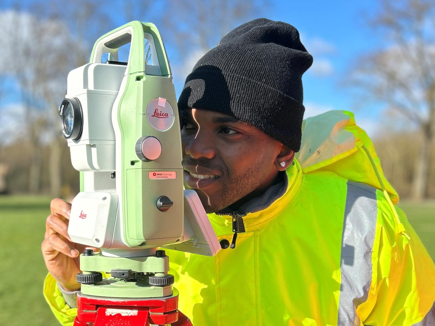
Inside geospatial surveying
From skyscrapers and hospitals to offshore wind farms, tunnels, and even virtual worlds for gaming, surveyors help map and measure our environment so engineers, architects, and planners can bring ideas to life.
A career in surveying blends outdoor fieldwork with indoor data analysis, using advanced equipment like drones, GPS, laser scanners, and mapping software. It’s varied, challenging, and rewarding – with opportunities across sectors such as:
- Mapping and GIS
- Construction and infrastructure
- Renewable energy and offshore projects
- Mining and quarrying
- Military and defence
- Hydrography (mapping underwater)
- Navigation systems and satellite technology
Every survey is unique – requiring different skills, equipment, and approaches. Below, we explore the Geospatial Top 10: the ten main types of surveys you might work on as a land surveyor.

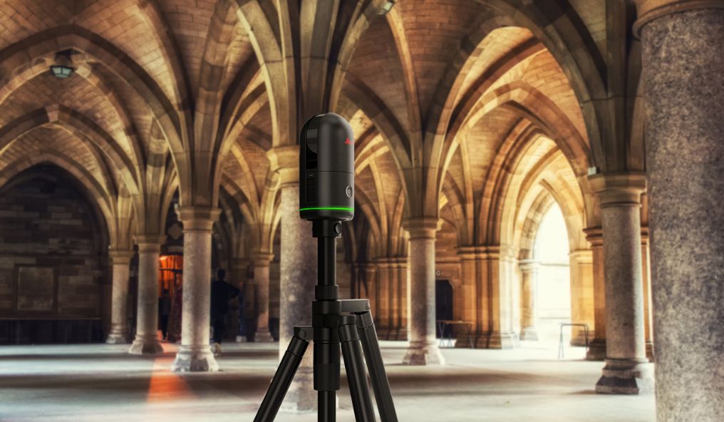
Measured Building Surveys 1

Accurate, scaled drawings of a building’s layout and features, often captured with digital laser scanners. Essential for renovations, extensions, and historical records.
2Topographical Surveys
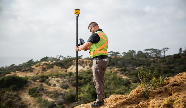
Detailed mapping of landscapes – natural and man-made features, contours, and elevation changes. Tools include GNSS, Total Stations, laser scanners, drones, and even satellites.
UAV (Drone) Surveys 3

Aerial surveys using drones to cover large or hard-to-reach areas quickly, cost-effectively, and safely. Can be standalone or combined with other survey data.
4Boundary Surveys

Defining exact property limits and ownership boundaries. Useful for resolving disputes, planning fences or walls, and legal documentation.
Underground Utility Surveys 5
Locating pipes, cables, and drainage systems using Ground Penetrating Radar (GPR) or Electromagnetic Location to prevent costly and dangerous strikes during construction.
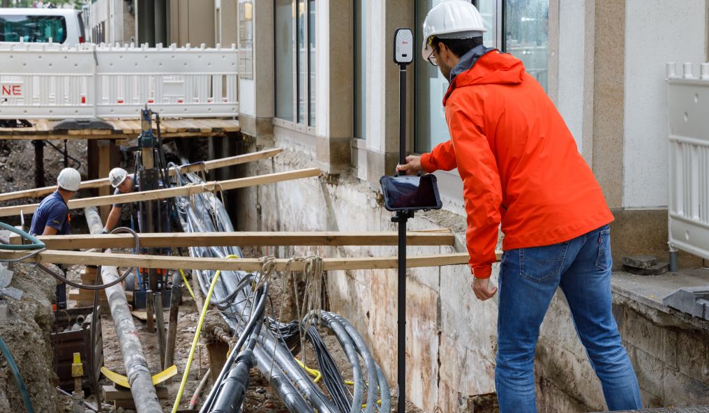
6Site Setting-Out
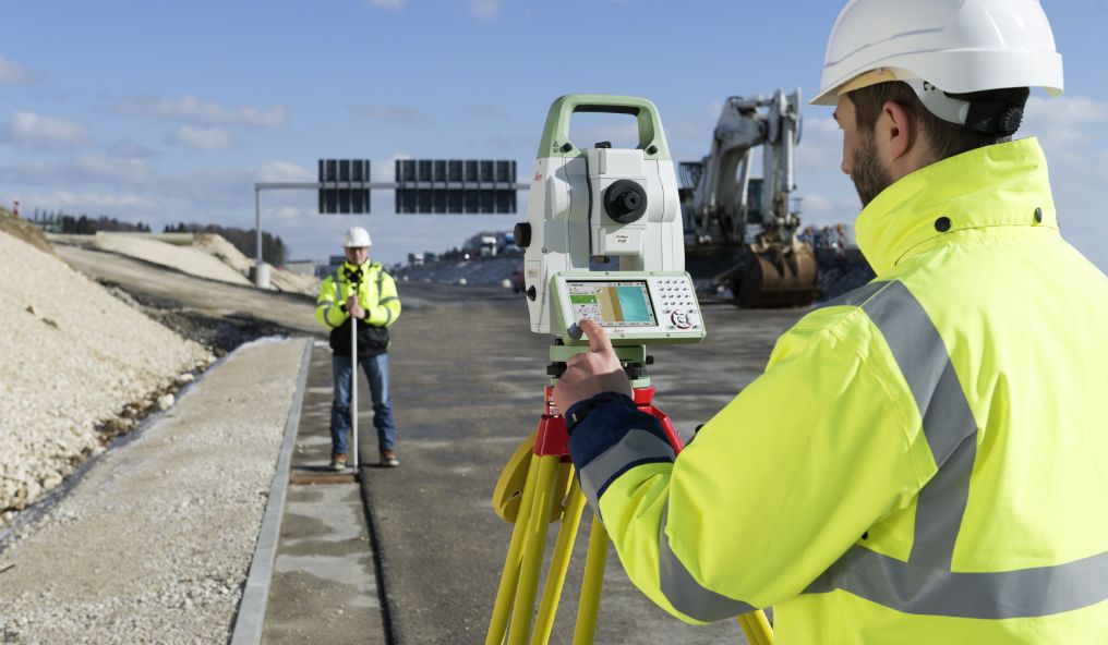
Translating architects’ and engineers’ plans into real-world markings on site, ensuring construction starts in the right place and to the correct dimensions.
As-Built Surveys 7
Recording a structure exactly as it exists at a given point in time, including modifications. Useful for compliance, renovation, and historical comparison.
8Deformation & Movement Surveys

Monitoring structural shifts over time – vital for safety checks on walls, bridges, and other infrastructure under stress.
Hydrographic Surveys 9
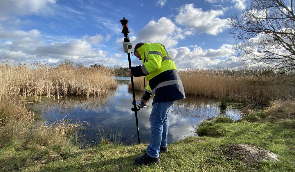
Measuring depths and mapping underwater terrain in rivers, lakes, harbours, and reservoirs. Used for flood modelling, construction, and environmental monitoring.
10Mobile Mapping

Capturing geospatial data on the move using radar or laser-equipped vehicles, ideal for road surveys without heavy traffic disruption.
Why choose a career in surveying?
Land surveying offers a dynamic mix of tech, travel, and teamwork. You could be using GIS and CAD software one day, flying drones the next, and standing on a remote site with cutting-edge laser scanning kit the day after.
For information on training, qualifications, and career routes, visit our careers section.