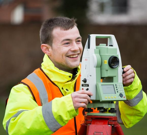
Pathway to surveying
Discover the skills, pathways, and opportunities to build your future in surveying
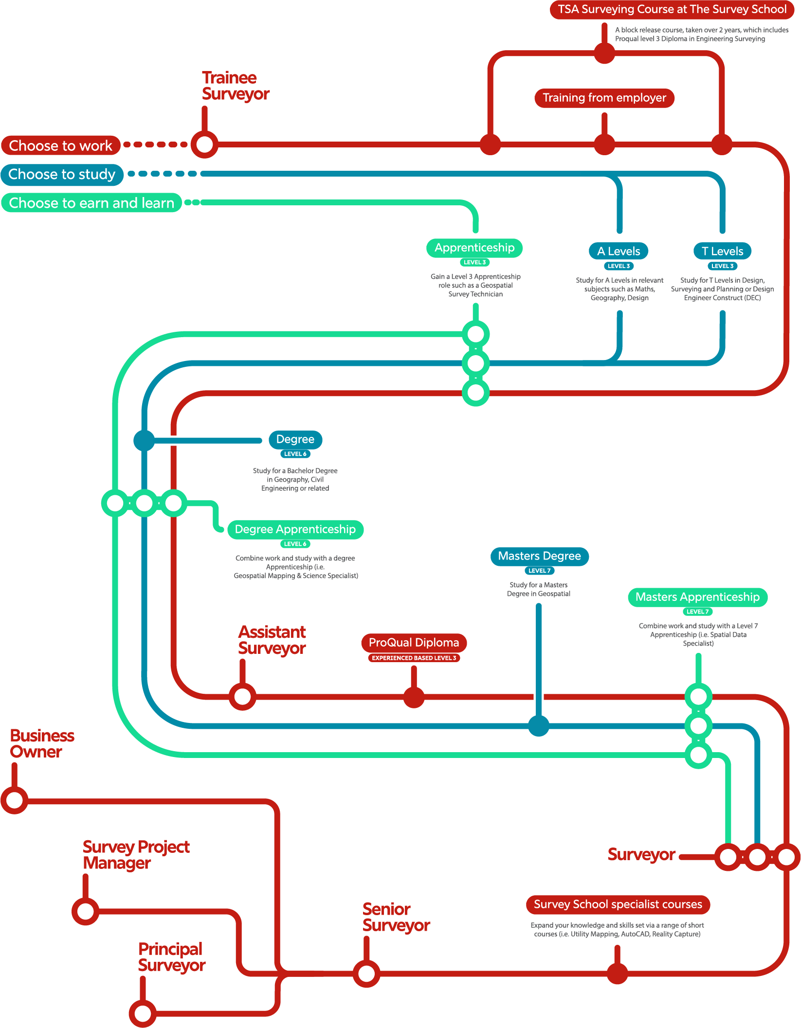
Map your own career path
In land and geospatial surveying, there’s no one-size-fits-all career path. Whether you prefer to study, learn on the job, or develop your skills through professional experience, there are many ways to progress. People enter the profession from school, college, university, or even from entirely different careers.
What matters most is curiosity, technical interest, and a willingness to learn. With so many flexible pathways, geospatial surveying is open to anyone ready to explore and map the world around them.
Your path, your way
Academic pathway
Start with A Levels or T Levels in geography, maths, or science, then move on to a degree or master’s in geospatial surveying or a related field. This route gives a strong theoretical foundation and is flexible enough to support a career change later in life.
Apprenticeship route
Earn while you learn by combining paid work with training. Apprenticeships let you gain real-world experience, develop technical skills, and earn recognised qualifications — a great option if you prefer hands-on learning or are retraining.
Work experience track
Begin with practical work experience in a trainee or assistant role, then progress through a survey school course or a professional qualification like a ProQual diploma. This route is flexible, ideal for career changers, and can be combined with further study or accreditation.
The diagram below illustrates the flexible career pathways available, giving you the freedom to build a career that fits your goals.
Starting on one pathway doesn’t limit you — you can switch to another at any time to continue your career growth in a way that suits you.
Download our pathway
Whether you have GCSEs, A-levels, T-levels, a university degree, or you’re considering apprenticeships, conversion courses, or professional training—there’s a path into the world of surveying for you.
No matter which path you choose, surveying offers a mix of outdoor adventure, technology, and problem-solving. Ready to map your future?

Geospatial Apprenticeships
An apprenticeship is a job that enables individuals to earn while they learn. Apprentices spend the majority of their time in the workplace, where they learn new skills, but a proportion of their time must also be spent doing off the job training. Apprentices may attend college or university, either on a day release basis or on block release, where they go to study for a week or more at a time and then go back to their workplace.
Case studies
Achievement via an apprenticeship route
Assistant Engineer (GIS & Mapping), Solihull Metropolitan Borough Council
Ryan Wilson
Accomplishment via a work experience track
Senior Engineering Leader, TfL Land Survey
Benjamin Brewster MCInstCES, Senior Engineering Leader
Supporting surveying careers:
surveyschool.org.uk
Recognised as the UK’s sole commercial training centre accredited by the Chartered Institution of Civil Engineering Surveyors, The Survey School plays a pivotal role in advancing the land surveying profession. Its close collaboration with employers and equipment manufacturers strengthens its commitment to delivering industry-focused education.
The Survey School provides a two year surveying course which runs alongside the ProQual Diploma as well as a range of short courses (2 – 5 days) in specific disciplines; Utility Mapping, AutoCAD and Reality Capture.
TSA Surveying Course
For new entrants into the geospatial profession, or those with some experience but no formal training, the two year surveying course is intended to broaden the student’s practical experience and to supplement the theoretical experience gained from their employer.
We also offer the TSA ProQual Diploma alongside the TSA Surveying Course or as a stand alone qualification for experienced surveyors.